Zermatt Piste Map
Download Zermatt Piste map:
Download Zermatt piste map as a pdf or an image file:


Zermatt ski resort overview:
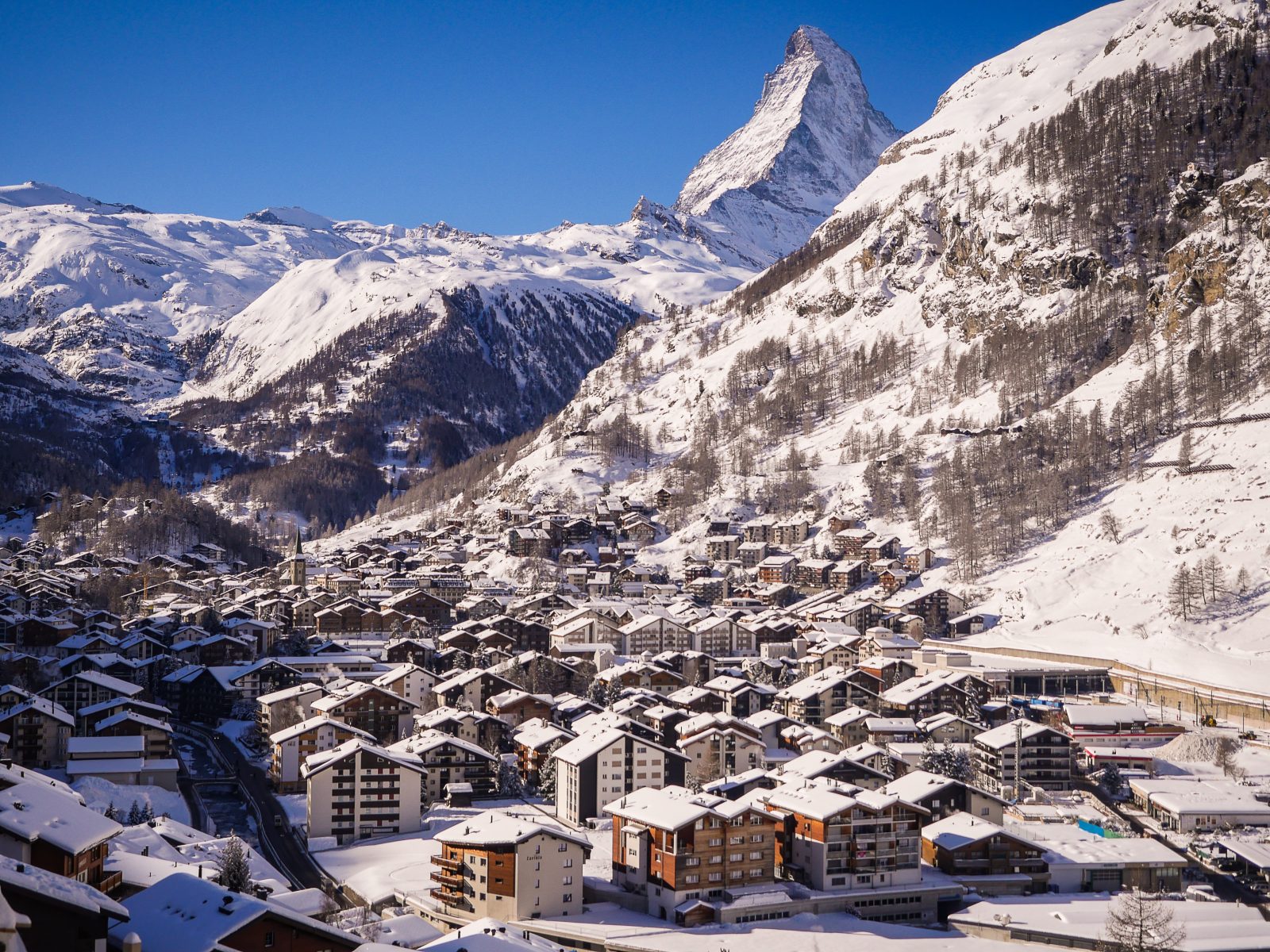
Zermatt Ski Resort, located in the Swiss Alps, is a premier destination for winter sports enthusiasts. Nestled at the base of the iconic Matterhorn, Zermatt offers over 360 kilometers of meticulously groomed slopes catering to all skill levels. The resort boasts a high-altitude range, ensuring excellent snow conditions year-round, with some areas accessible even in summer. Zermatt is renowned for its stunning alpine scenery, luxurious accommodations, and vibrant après-ski scene. The car-free village enhances the serene, pristine environment, providing a unique and tranquil experience. Visitors can enjoy a variety of activities beyond skiing, including ice climbing, glacier hiking, and exploring the Gornergrat Railway for breathtaking panoramic views. The resort’s extensive lift system efficiently connects skiers to the vast terrain, while the cross-border ski pass allows access to Cervinia in Italy, offering a truly international skiing adventure. Zermatt’s blend of natural beauty, world-class facilities, and Swiss hospitality makes it a top choice for winter vacations.
Quick facts about Zermatt:
| Zermatt resort altitude: | 1620m | ||
| Zermatt Piste altitude: | 1620m-3899m | ||
| Number of lifts in Zermatt: | 40 | ||
| KM of pistes in Zermatt: | 360km | ||
| Longest piste in Zermatt: | 33KM (Tiefbach) | ||
| Total pisted runs in Zermatt: | 74 | ||
| Green pistes: | N/A | ||
| Blue pistes: | 12 | ||
| Red pistes: | 41 | ||
| Black pistes: | 21 |
How do I get to Zermatt?
| Nearest airport to Zermatt: | Sion | Find flights | |
| Transfer time to Zermatt: | 1hr 40min | Airport Transfers |
How much does a Zermatt lift pass cost?
| Adult: , child: , Senior: | ||
| Indicative one day lift pass price. Daily cost normally cheaper when purchased for longer period. |
Download Zermatt Piste map:
Download Zermatt piste map as a pdf or an image file: