Val Thorens Piste Map
Download Val Thorens Piste map:
Download Val Thorens piste map as a pdf or an image file:


Val Thorens ski resort overview:
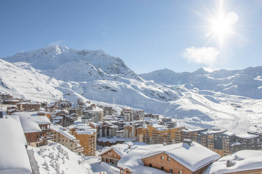
Val Thorens (or VT to the locals), located in the French Alps, is Europe's highest ski resort, standing at an altitude of 2,300 meters. It's part of the renowned Three Valleys (Les Trois Vallées), the largest ski area in the world, offering over 600 kilometers of interconnected slopes across VT, Meribel and Courchevel. The resort is a favorite among skiers and snowboarders due to its reliable snow conditions from November to May, making it one of the longest ski seasons in Europe. Val Thorens caters to all levels of skiers, from beginners to advanced, with a wide range of slopes, including challenging black runs and expansive off-piste opportunities. The resort is also well-known for its modern lift system, which provides easy and quick access to the slopes. Apart from skiing, Val Thorens offers a vibrant après-ski scene with numerous bars, restaurants, and nightclubs. It’s a hub for lively nightlife and cultural events. The resort is also family-friendly, with activities such as snowshoeing, tobogganing, and wellness centers available. The combination of high-altitude skiing, excellent facilities, and a lively atmosphere makes Val Thorens a top destination for winter sports enthusiasts worldwide. Its breathtaking alpine scenery further enhances the appeal, making every visit memorable.
Quick facts about Val Thorens:
| Val Thorens resort altitude: | 2300m | ||
| Val Thorens Piste altitude: | 1825m-3230m | ||
| Number of lifts in Val Thorens: | 30 | ||
| KM of pistes in Val Thorens: | 150km | ||
| Longest piste in Val Thorens: | 12km (Cime de Caron) | ||
| Total pisted runs in Val Thorens: | 83 | ||
| Green pistes: | 11 | ||
| Blue pistes: | 37 | ||
| Red pistes: | 28 | ||
| Black pistes: | 7 |
How do I get to Val Thorens?
| Nearest airport to Val Thorens: | Geneva, Lyon, Chambery 80km | Find flights | |
| Transfer time to Val Thorens: | 2 hours | Airport Transfers |
How much does a Val Thorens lift pass cost?
| Adult: €65, Child: €52, Senior: €58.50, Veteran 75+: €16.20 | ||
| Indicative one day lift pass price. Daily cost normally cheaper when purchased for longer period. |
Download Val Thorens Piste map:
Download Val Thorens piste map as a pdf or an image file: