St Anton Piste Map
Download St Anton Piste map:
Download St Anton piste map as a pdf or an image file:


St Anton ski resort overview:
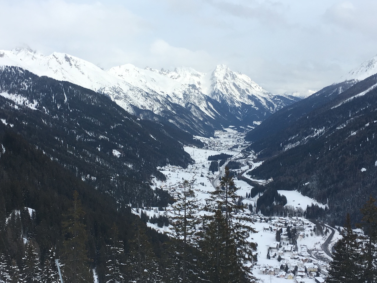
St. Anton am Arlberg, located in Austria’s Tyrolean Alps, is renowned as one of the world’s premier skiing destinations. Known for its vast and varied terrain, deep snow, and vibrant après-ski scene, it offers a mix of adventure and relaxation for skiers of all levels. The resort boasts over 300 kilometers of marked ski runs and 200 kilometers of off-piste terrain, making it ideal for advanced skiers and those seeking a challenge. Its connection to the wider Arlberg ski area, which includes Lech, Zürs, and St. Christoph, means skiers have access to a vast network of trails and diverse landscapes. The resort’s efficient lift system ensures minimal waiting times, even during peak seasons, allowing visitors to make the most of their time on the mountain. St. Anton is also known for its deep snow and reliable conditions, making it a favorite for powder enthusiasts. Beyond its thrilling slopes, the resort is famous for après-ski, with legendary spots like MooserWirt and Krazy Kanguruh offering lively music, drinks, and an unbeatable atmosphere for socializing after a day on the slopes. For those looking for a break from skiing, St. Anton offers other winter activities, such as snowshoeing, tobogganing, and wellness centers. Its charming Alpine village, with traditional Austrian architecture, adds to the overall experience, making St. Anton a must-visit destination for ski lovers worldwide.
Quick facts about St Anton:
| St Anton resort altitude: | 1305m | ||
| St Anton Piste altitude: | 1305m-2650m | ||
| Number of lifts in St Anton: | 38 | ||
| KM of pistes in St Anton: | 127km (340km - Arlberg) | ||
| Longest piste in St Anton: | km | ||
| Total pisted runs in St Anton: | |||
| Green pistes: | % | ||
| Blue pistes: | % | ||
| Red pistes: | % | ||
| Black pistes: | % |
How do I get to St Anton?
| Nearest airport to St Anton: | Innsbruk 80km | Find flights | |
| Transfer time to St Anton: | 1hr30mins | Airport Transfers |
How much does a St Anton lift pass cost?
| Adult: €, child: €, Junior: € | ||
| Indicative one day lift pass price. Daily cost normally cheaper when purchased for longer period. |
Download St Anton Piste map:
Download St Anton piste map as a pdf or an image file: