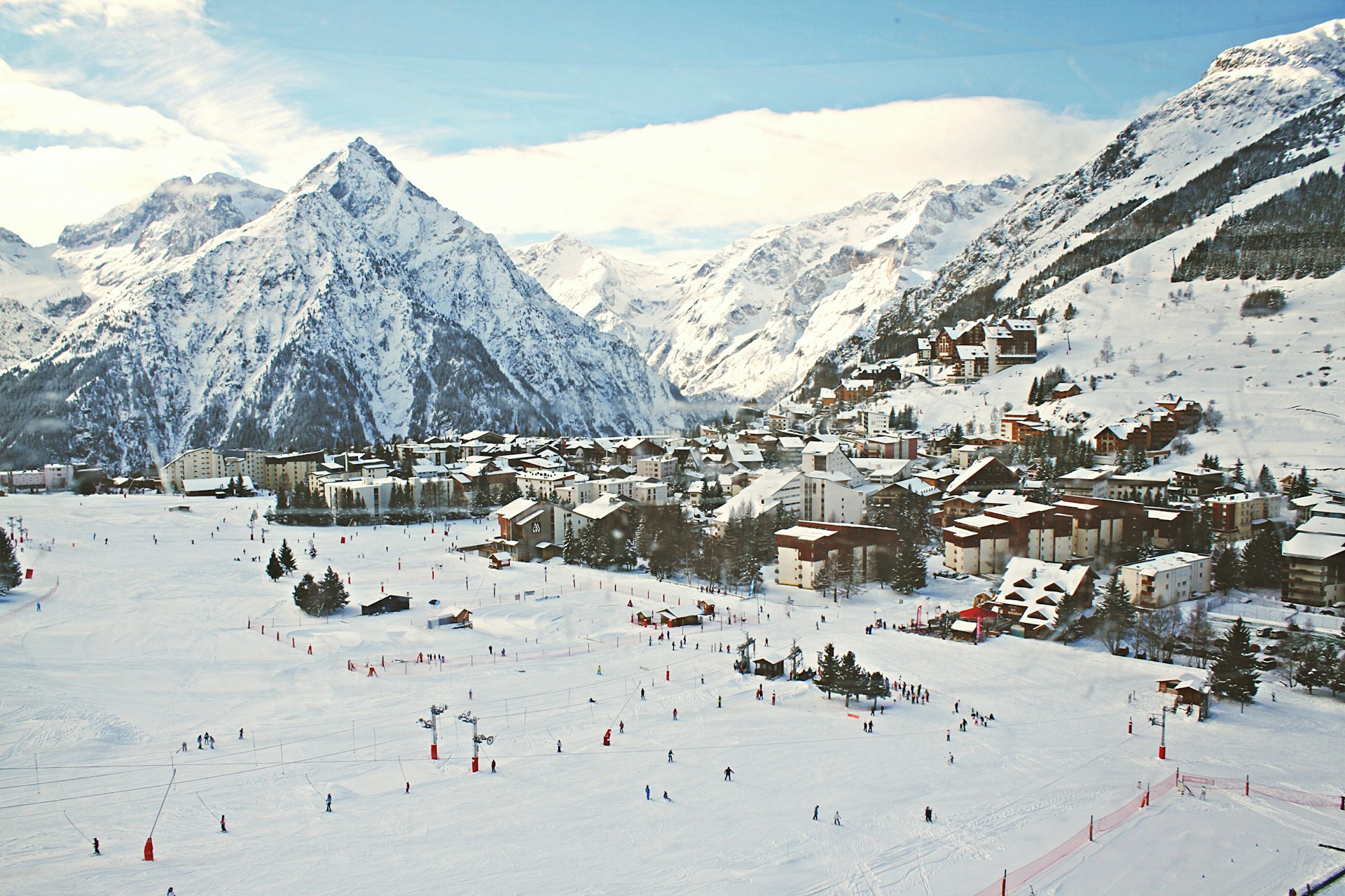
Les Deux Alpes Piste Map
Download Les Deux Alpes Piste map:
Download Les Deux Alpes piste map as a pdf or an image file:


Les Deux Alpes ski resort overview:
Les Deux Alpes is a premier ski resort located in the French Alps, renowned for its vast skiable terrain and diverse offerings for skiers of all levels. Situated in the Isère department, the resort boasts one of the largest skiable glaciers in Europe, allowing for year-round skiing, even in the summer months. The ski area stretches across 220 kilometers of pistes, ranging from wide, beginner-friendly slopes to challenging black runs, catering to both novice and expert skiers alike. At an altitude of 3,600 meters, the glacier provides excellent snow conditions and breathtaking panoramic views. The resort is also known for its extensive off-piste opportunities, making it a popular destination for freeriders. The snow park, one of the largest in Europe, attracts freestyle enthusiasts with its jumps, rails, and half-pipe. Les Deux Alpes is more than just a winter sports destination. The lively village at its base offers a wide array of amenities, including shops, restaurants, and après-ski options. The resort’s vibrant nightlife, combined with its traditional alpine charm, makes it a favorite among young skiers and families alike. With its blend of reliable snow, varied terrain, and lively atmosphere, Les Deux Alpes stands out as a top destination in the Alps.
Quick facts about Les Deux Alpes:
| Les Deux Alpes resort altitude: | 1850m | ||
| Les Deux Alpes Piste altitude: | 1300m-3568m | ||
| Number of lifts in Les Deux Alpes: | 43 | ||
| KM of pistes in Les Deux Alpes: | 227km | ||
| Longest piste in Les Deux Alpes: | 16km - Jandri | ||
| Total pisted runs in Les Deux Alpes: | 95 | ||
| Green pistes: | 13 | ||
| Blue pistes: | 49 | ||
| Red pistes: | 17 | ||
| Black pistes: | 11 |
How do I get to Les Deux Alpes?
| Nearest airport to Les Deux Alpes: | Grenoble, Lyon, Chambery 80km | Find flights | |
| Transfer time to Les Deux Alpes: | 2 hours | Airport Transfers |
How much does a Les Deux Alpes lift pass cost?
| Adult: €65, Child: €52, Senior: €58.50, Veteran 75+: €16.20 | ||
| Indicative one day lift pass price. Daily cost normally cheaper when purchased for longer period. |
Download Les Deux Alpes Piste map:
Download Les Deux Alpes piste map as a pdf or an image file: