Champery Piste Map
Download Champery Piste map:
Download Champery piste map as a pdf or an image file:


Champery ski resort overview:
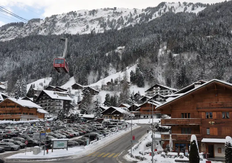
Champéry is a picturesque ski resort located in the Valais region of Switzerland, renowned for its authentic Alpine charm and stunning scenery. Champéry forms part of the expansive Portes du Soleil ski area, one of the largest interconnected ski domains in the world, offering access to over 650 kilometers of pistes in Switzerland and over the border in France. The resort sits at an elevation of 1,050 meters, with ski runs reaching up to 2,277 meters. Champéry attracts a diverse range of visitors, from beginners to advanced skiers, with its variety of slopes, off-piste opportunities, and excellent snow conditions. The resort is equipped with modern lifts and infrastructure, ensuring easy access to the extensive ski terrain. Additionally, Champéry is well-known for its lively après-ski scene, featuring numerous bars, restaurants, and shops that provide a warm and welcoming atmosphere. Beyond skiing and snowboarding, Champéry offers a multitude of winter activities, including snowshoeing, ice climbing, and paragliding. The resort also boasts an impressive sports center, the Palladium, which includes an indoor swimming pool, ice rink, and fitness facilities. With its blend of traditional charm and modern amenities, Champéry provides a memorable and enjoyable experience for all visitors.
Quick facts about Champery:
| Champery resort altitude: | 1050m | ||
| Champery Piste altitude: | 1040m - 2277m | ||
| Number of lifts in Champery: | |||
| KM of pistes in Champery: | km | ||
| Longest piste in Champery: | |||
| Total pisted runs in Champery: | |||
| Green pistes: | 2 | ||
| Blue pistes: | 32 | % | |
| Red pistes: | 31 | % | |
| Black pistes: | 5 | % |
How do I get to Champery?
| Nearest airport to Champery: | Geneva, Zurich 123km | Find flights | |
| Transfer time to Champery: | 1 hour 30 minutes (GVA) 3 hours 10 minutes (ZRH) | Airport Transfers |
How much does a Champery lift pass cost?
| Adult: from CHF | ||
| Indicative one day lift pass price. Daily cost normally cheaper when purchased for longer period. |
Download Champery Piste map:
Download Champery piste map as a pdf or an image file: